Services
Eight services. One delivery standard.
Every flight is run by a CASA-licensed pilot. Every report is reviewed by an inspector who understands the asset class. Engineering-grade methodology, severity-rated findings, fixed quotes within 24 hours.
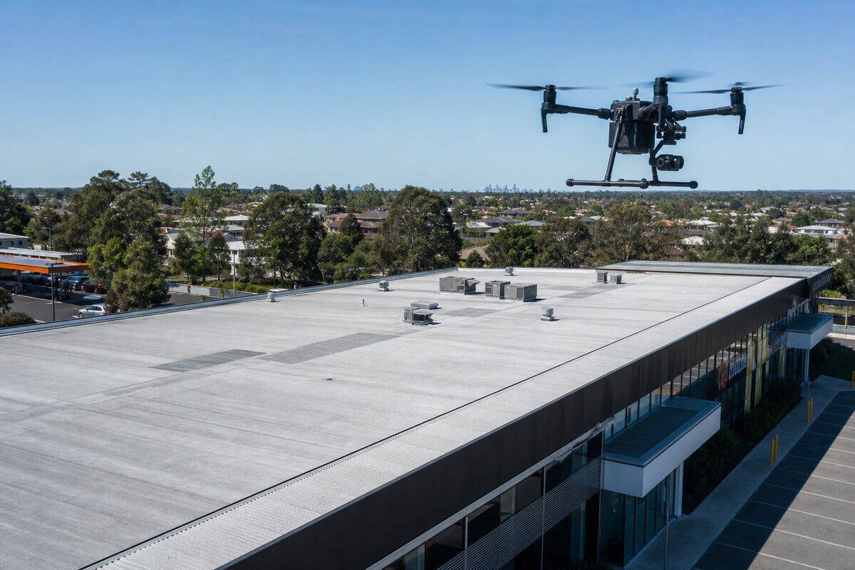
Drone Roof Inspection
High-resolution aerial roof assessments identifying damage, defects, and maintenance needs. Used for insurance claims, pre-purchase due diligence, strata maintenance planning, and storm damage documentation across Australia.
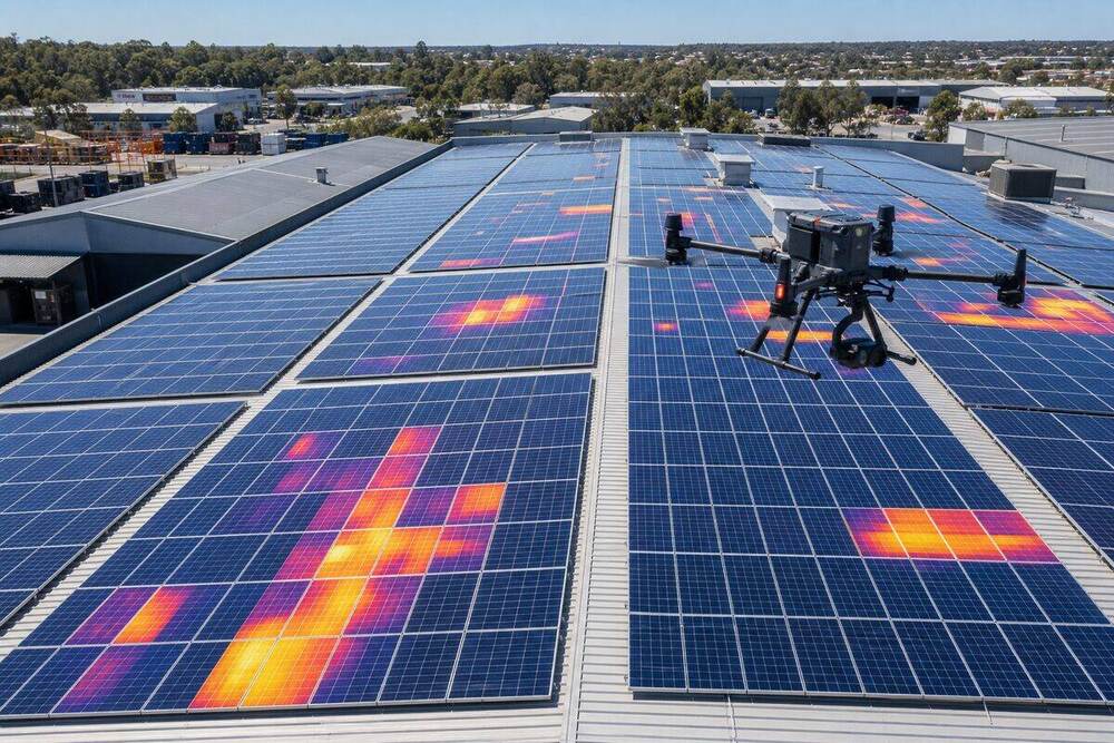
Solar Panel Inspection
Thermal and visual inspection of rooftop and ground-mount solar arrays. Identify dead cells, hotspots, soiling, micro-cracks, and string-level faults that quietly drain your system output.
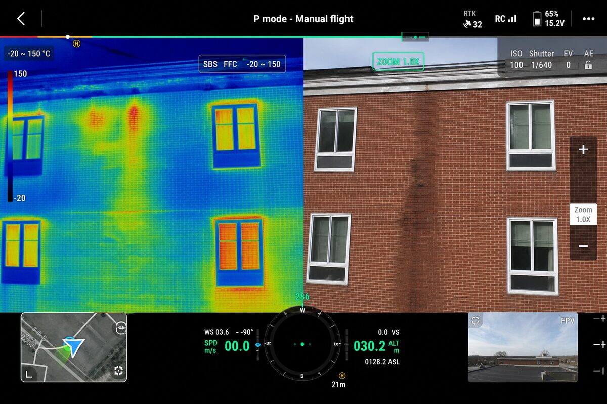
Thermal Drone Inspection
Radiometric thermal imaging across building envelopes, electrical infrastructure, industrial assets, and mechanical systems. Detect heat loss, water ingress, and equipment failure before they become incidents.
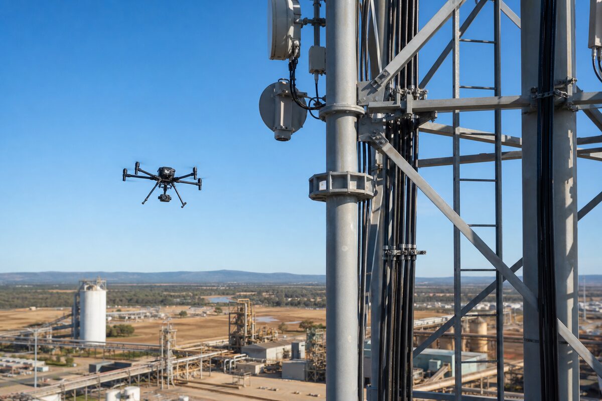
Asset Inspection
Drone-based inspection of bridges, towers, silos, tanks, wind turbines, transmission lines, and industrial structures. Replace working-at-height risk with high-resolution imagery and engineering-grade reporting.

Aerial Photography
Professional aerial photography for marketing, construction documentation, events, and brand campaigns. Hasselblad and full-frame sensors, certified pilots, and editing-ready RAW files.
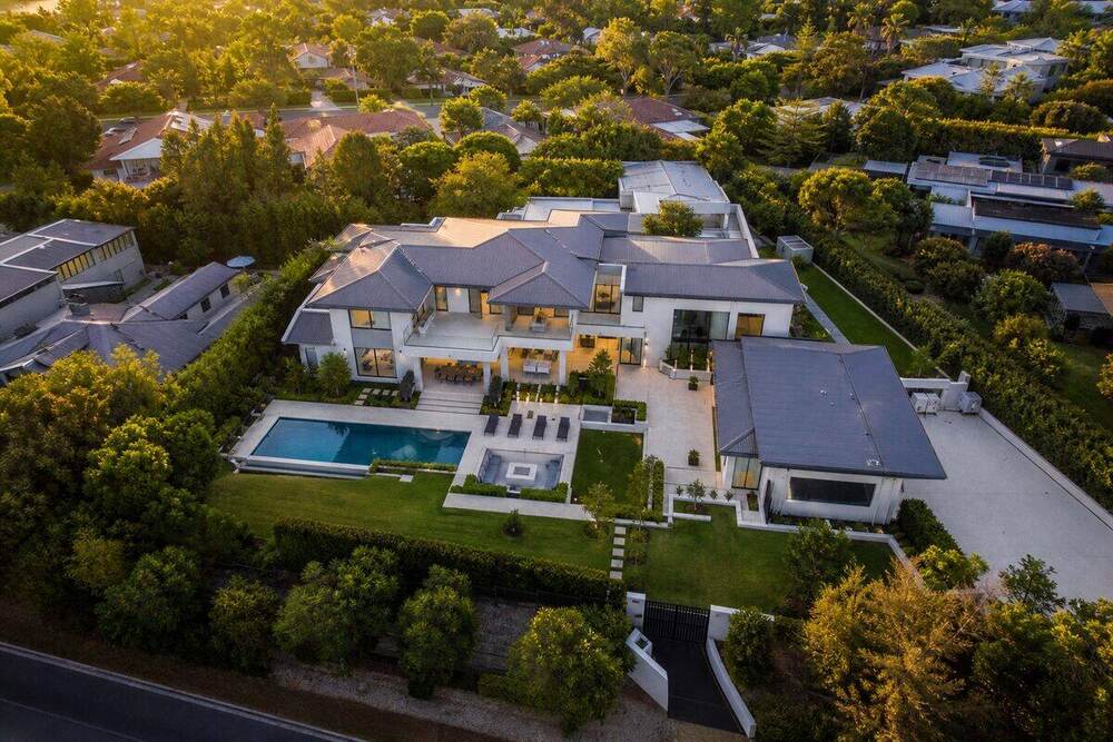
Real Estate Photography
Drone photography and video for residential, commercial, and rural real estate. Industry data shows aerial-photographed listings sell 68% faster than ground-only equivalents.
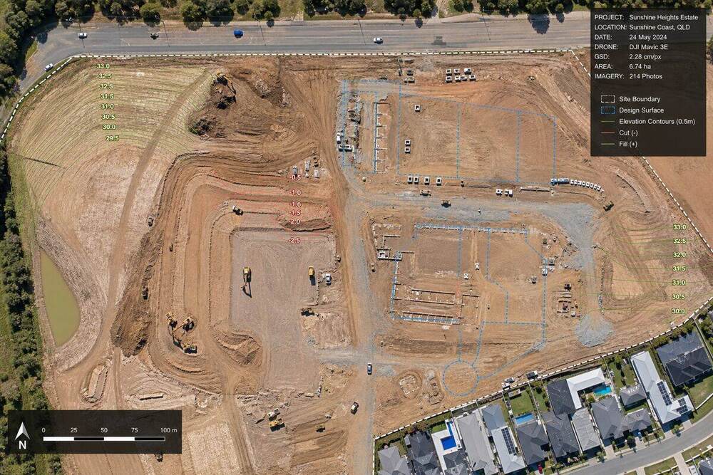
Aerial Mapping & Surveying
High-accuracy drone mapping for construction, mining, civil infrastructure, and land development. Orthomosaic, DSM, DEM, contours, volumes, and 3D textured mesh outputs to ±2cm vertical accuracy.
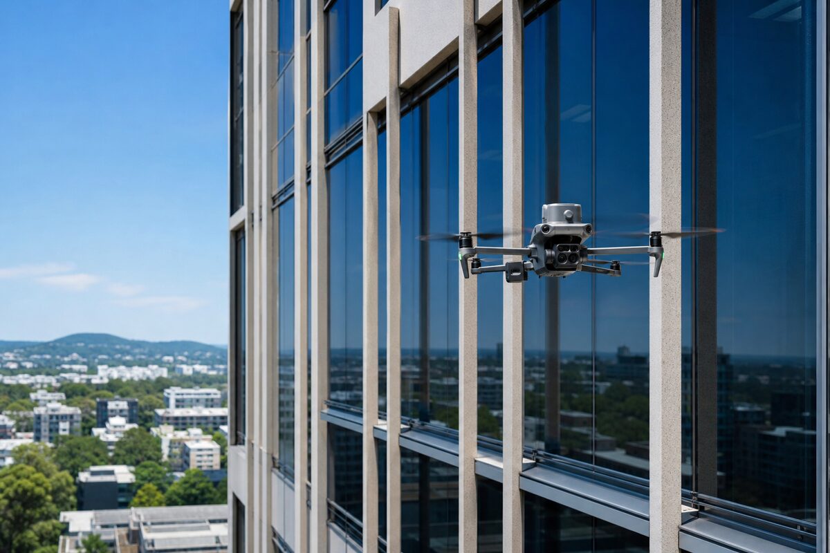
Commercial Building Inspection
Combined drone facade and roof inspection for office buildings, hotels, apartments, and commercial properties. Identify falling-object risk, water ingress, sealant failure, and cladding defects before they trigger incidents or insurance issues.
Need something else?
Custom drone work, multi-site programs, recurring inspections, and confined-space inspection are all available on enquiry.
Talk to us